
Olympia Neighbors by Block
Thurston County's public map and property roll form the base of a block search. The GeoData property map draws parcel boundaries and supplies parcel-linked fields. A+ then provides the assessor's owner, taxpayer, situs, mailing, parcel, and legal-description context. Washington's voter-file extract is a separate, regulated source rather than a live block directory. Olympia's recognized neighborhood program adds public civic contacts, not member names. Older city directories at the library can give historical address entries, though they do not describe today's occupants.
| Source | What It Shows About a Block | Access |
|---|---|---|
| Thurston County Property Map | Parcel shapes, parcel identifiers, jurisdiction and map context | Free online viewer |
| A+ Parcel Search | Owner or taxpayer, situs, mailing and legal-description fields | Free online portal |
| Washington voter extract | Public registration fields, precinct and district under use limits | Request through Secretary of State |
| Olympia RNA and CNA lists | Association name, recognized status, boundary and public contact | City and coalition directories |
| Historical city directories | Address entries for past households in covered years | Library, archives and limited digital index |
The table separates proof from suggestion. An assessor result supports recorded ownership, not who sleeps at the address. A voter record concerns one registrant and does not list all people in a home. An association contact speaks for a civic group and is not a roster of neighbors. Keep the block small and the purpose clear: property research, a community question, family history, or a lawful effort to reconnect. For a complete named-street method, use the Olympia street directory.
Open Olympia Parcel Maps
The Thurston County GeoData map menu links property, permitting, jurisdiction, elections, school, and other viewers. Start in the Property Map with the target address. A parcel polygon is the mapped tax unit; it may contain more than one structure and does not represent a household. Click the target, note its parcel number, then move to the parcel on each side and those directly opposite.
The county warns that its property map is not a survey. Lines are for reference and should not settle a boundary dispute. Still, the parcel pattern helps define a rational block: adjacent lots first, then the next ring only if the question needs it. Capture the jurisdiction and city-status fields because an Olympia postal label can fall outside municipal limits. ZIP, neighborhood, precinct, and parcel boundaries serve different systems and rarely align.
The official online maps page shows the available county viewers.
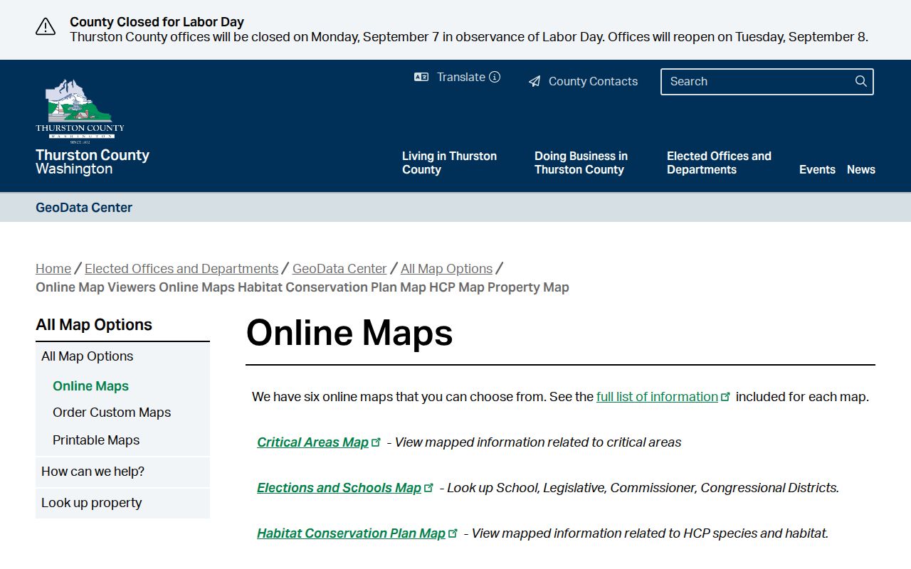
Select the property viewer for adjacent parcels, then use other layers only for the specific civic or permit question.
Connect Olympia Parcels to Owners
Move each parcel number into Thurston County A+ Parcel Search. Record the owner or taxpayer name, complete situs address, mailing address, parcel identifier, legal description, and any city-status detail supplied. A situs address is the physical site used by the assessor. The mailing address is where the tax notice goes. A legal description identifies land through a plat, lot and block, or metes-and-bounds text. These fields are not interchangeable.
Compare mailing and situs fields, but do not convert a match into an unsupported claim of occupancy. Owners can receive mail elsewhere, and one owner may hold several nearby parcels. A trust, company, public body, or association may also appear instead of a person's name. When ownership needs documentary support, use the Thurston County Auditor's EagleWeb index for a deed. The Auditor records compliant documents in a ministerial role; recording itself does not decide whether a deed is substantively valid.
Note: Keep parcel numbers beside each owner result because street spelling and postal labels can change while the land identifier remains useful.
Walk an Olympia Block
A repeatable neighbor lookup moves from place to map to record. Decide first what counts as the block. For most Olympia questions, the parcels touching the target and the parcels across the street are enough. A broad radius can pull in another association, jurisdiction, or ZIP and make the result less useful.
- Verify the complete address, including street direction and type, then locate it in the Thurston County Property Map.
- Click the target and each adjacent parcel. Copy each parcel number and note the mapped jurisdiction.
- Search those parcel numbers in A+. Separate recorded owner, mailing address, and situs address in the notes.
- Open a deed, permit, voter-file request, or civic association source only when it answers the stated block question.
A concise research flow is: address to parcel map to adjacent parcel numbers to assessor owners to one relevant record. The flow ends when the public source stops. It does not justify guessing at occupants or expanding the search into private activity. Save the record date because parcels, owners, permits, and association contacts change.
Olympia Voter Data Boundaries
Washington's public voter-file extract can include a registrant's name, address, year of birth, voting history, district, and precinct. It withholds full birth dates, driver-license or identification numbers, and the last four Social Security digits under RCW 29A.08.710, .720, and .740. RCW 42.56.070(8) also limits use of lists of individuals requested for commercial purposes.
The extract is requested through the Secretary of State; it is not a public webpage that should be turned into a neighborhood roster. A record does not reveal every eligible person or every person at an address. Registration can lag a move, and voters protected through the Address Confidentiality Program may use a substitute address. Use precinct and district fields for civic context and check status through official election channels.
Olympia Block Permits and Cases
Buildings can explain more about a block than a name list. Olympia's SmartGov permit portal supports parcel and address research for permits and land-use review. The city's official parcel-search help shows how to select a parcel and reach its permit history. Permits can document work or an application at a site, but they do not prove who occupies it now.
Code enforcement also accepts address-based complaints. Complaint records may be disclosable, while confidentiality and exemptions can apply. Use the City Clerk's public-records route for material not exposed online, and describe the record as a permit, inspection, or case rather than as evidence about a neighbor's character. The Police to Citizen service and daily bulletin are separate public-safety sources; call emergency services for an active threat instead of attempting personal enforcement.
Olympia Neighborhood Directory
The City of Olympia maintains a Recognized Neighborhood Association program. It began in 1989 and can include groups in the Olympia Urban Growth Area, which helps explain why a civic boundary may extend beyond city limits. Recognition can bring land-use notices, City Hall copier use, matching grants of up to $5,000 each year, and two street closures for block parties. These are civic benefits, not a membership disclosure system.
The Coalition of Neighborhood Associations keeps an inventory that includes groups such as Bigelow, Northeast, Downtown, and West Bay among others documented in the research. Use the public association contact to ask about meetings, newsletters, boundaries, or neighborhood projects. Do not ask for a private member roster. An HOA and a city-recognized association are also different: one may govern property through covenants, while the other participates in civic communication.
City RNA Program
Official recognition, maps, program rules, grants, and public association contacts through the City of Olympia.
CNA Inventory
A coalition-level list of neighborhood, HOA, and civic groups, useful for finding a public group contact.
County GeoData
Parcel, city-status, ZIP, jurisdiction, and other map context that can differ from association boundaries.
The official association page illustrates the civic directory available to Olympia neighbors.
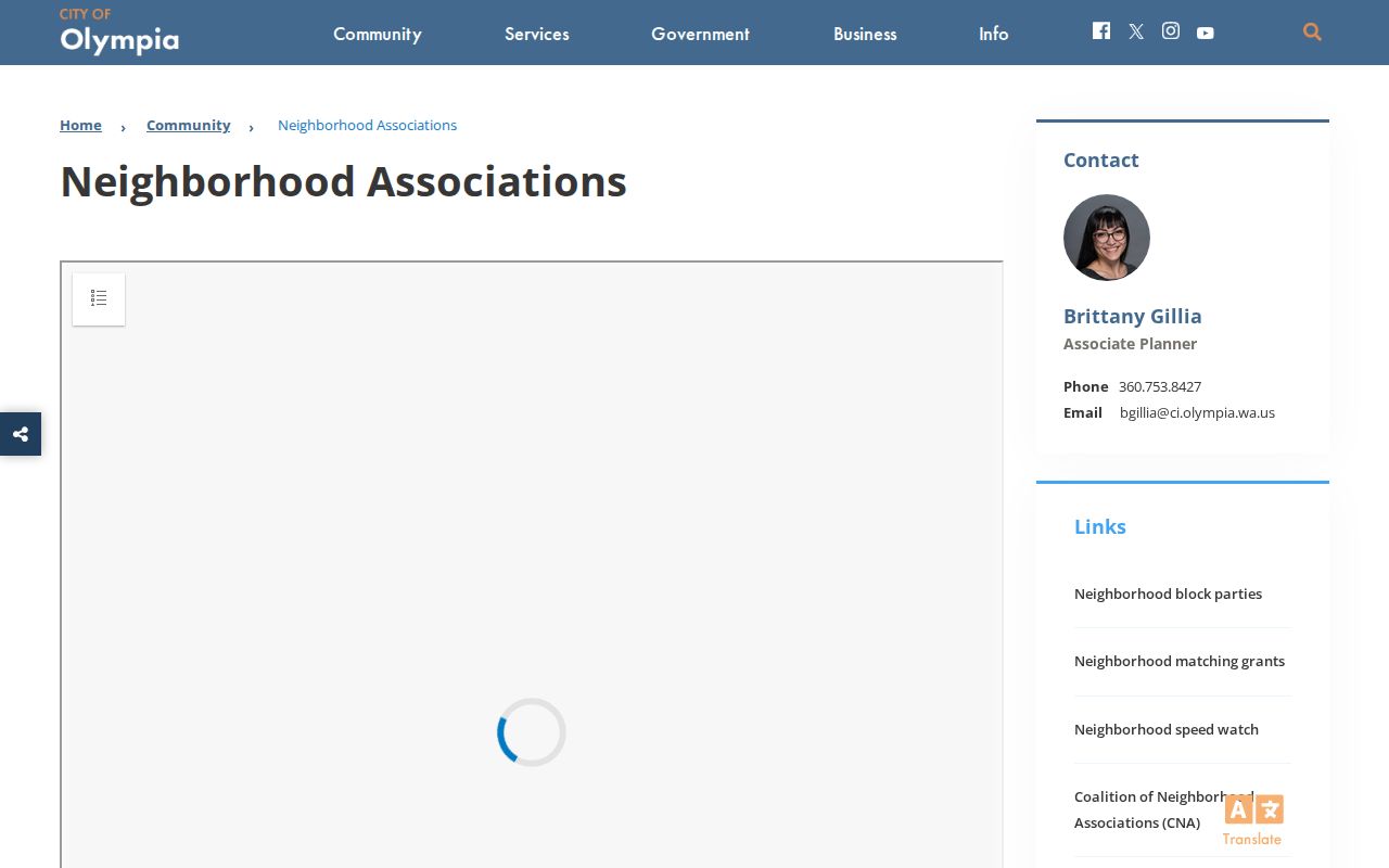
Its contacts support public participation without identifying every household inside an association area.
Olympia Neighbor Geography
Postal, civic, and parcel labels overlap without matching. The county ZIP map marks special institutional labels such as 98504 for Washington State Agencies and 98505 for The Evergreen State College. It also shows East Olympia and nearby communities whose postal names are not the same as Olympia municipal limits. A property map's city-status field is therefore more useful for jurisdiction than the city line in a mailing address.
The recognized-neighborhood program can reach into the Urban Growth Area. Precincts answer election questions, ZIPs organize mail, parcels organize land records, and association lines organize civic participation. When mapping neighbors, label each layer instead of forcing all of them into one boundary. That small habit prevents a nearby parcel from being assigned to the wrong office or association.
Compare Olympia Neighbor Sources
Official sources are narrower than commercial neighbor tools, but their limits are visible. The assessor identifies recorded parcel facts; the city identifies recognized associations; the election authority explains voter-file fields and restrictions. A commercial product may blend public and purchased data, hide its source date, or merge people who share a name.
| Source type | Best use | Main caution |
|---|---|---|
| Official parcel and map records | Owners, parcels, jurisdiction and documented property facts | Ownership does not prove occupancy |
| Official civic directories | Association status, boundaries and public contacts | Not a household or member roster |
| Commercial neighbor tools | Possible leads that require independent checking | Sources, dates and merged identities may be unclear |
Start with the official record most closely tied to the question. Use a second custodian to verify any personal conclusion, and stop when the evidence does not support a link.
Olympia Neighbor Lookup Limits
Public records do not provide a complete list of occupants, renters, household members, phone subscribers, utility customers, or delivery recipients. Washington's Address Confidentiality Program lets eligible survivors and protected participants use a substitute state address in public systems under chapter 40.24 RCW and WAC 434-840. Courts and agencies may also redact or restrict information under specific exemptions.
Respect a no-contact request and do not use records to monitor a person. If a public entry appears wrong, send the correction to the government custodian that created it. For an urgent safety issue, contact the proper public authority rather than confronting a neighbor based on a search result. RCW 9A.46.110 addresses stalking; public access never grants permission to harass or intimidate.
Lawful use. Olympia neighbor records support civic questions, property research, reconnecting, and personal safety awareness. Never use them to watch, harass, intimidate, or harm a person.